


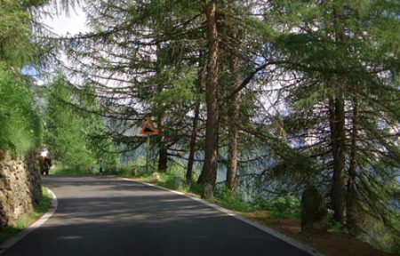
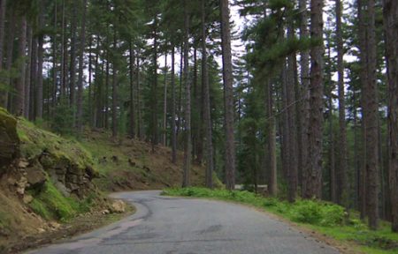
Col du Mont Cenis
€9.95
Your ride ascends to awesome mountain heights, travelling over the stupendous twists, bends and drops of a pass that connects Italy to France, and that features in European history. You cover the same route as Emperor Constantine’s Roman army invading Gaul.
[sgpx gpx=”https://files.veloreality.com/gpx/0047.gpx”]
Additional Information
Country
FR
Difficulty
Hard
Distance
48.2
Elevation Gain
1437
Terrain type
Climb
Video Quality
1080, 4K
Ascenddistance
27.2
Ascendgrade
5.2
TotalClimb
1437
UphillDistance
27.2
Details
Related products
-
 IT €9.95
Passo Gavia
19.3 kmVery HardClimb -
 FR €9.95
Corsica, Col de Vergio from Corte Part 2
25.3 kmMediumClimb -
 FR €9.95
Gascony Tour Part 4
53.8 kmEasyFlat