Stirling to Killin, p2, UK
€9.95
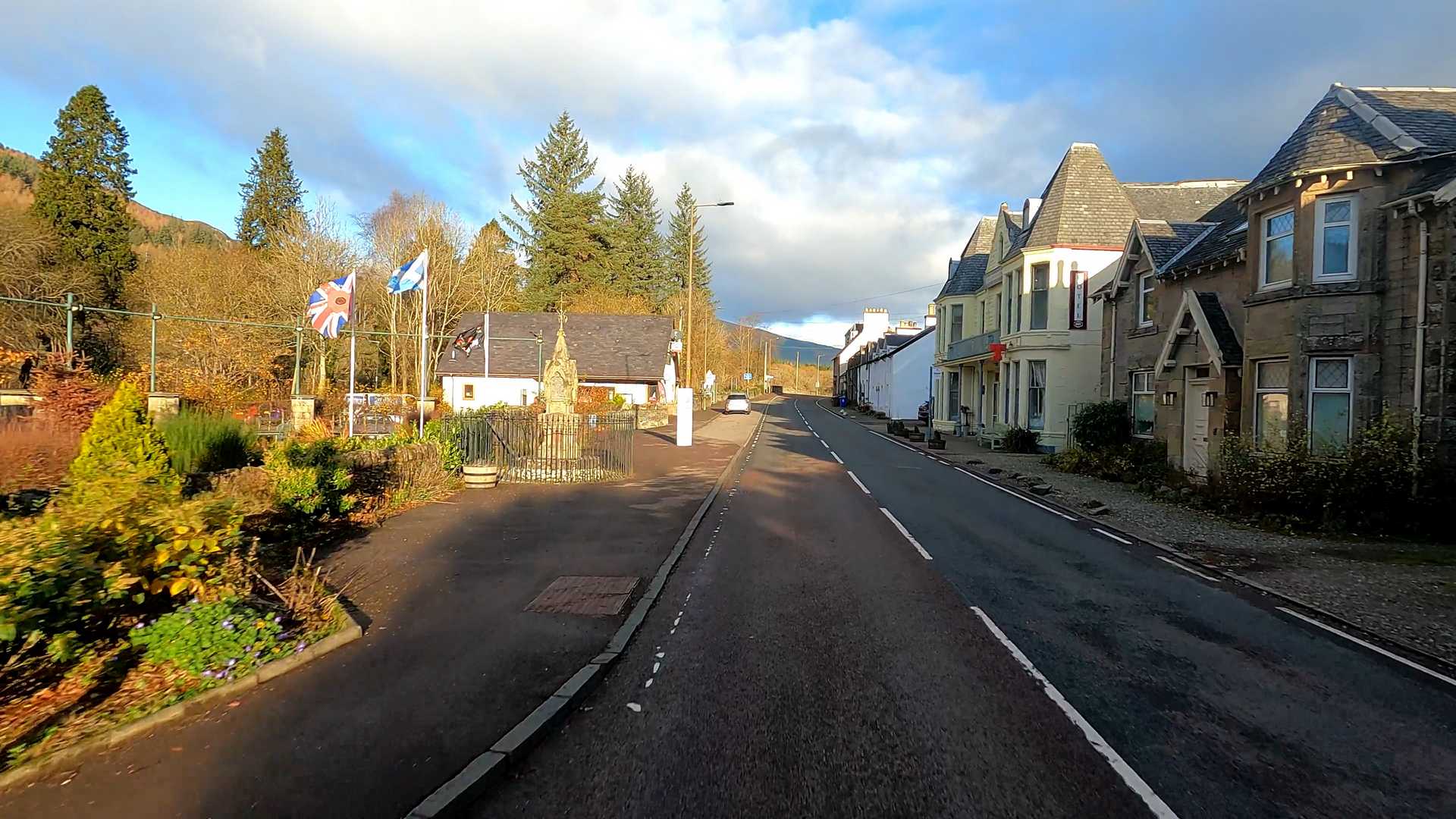
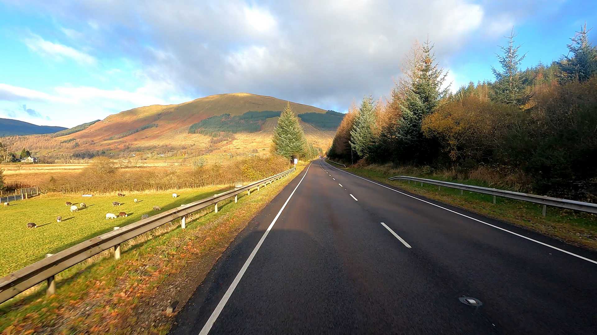
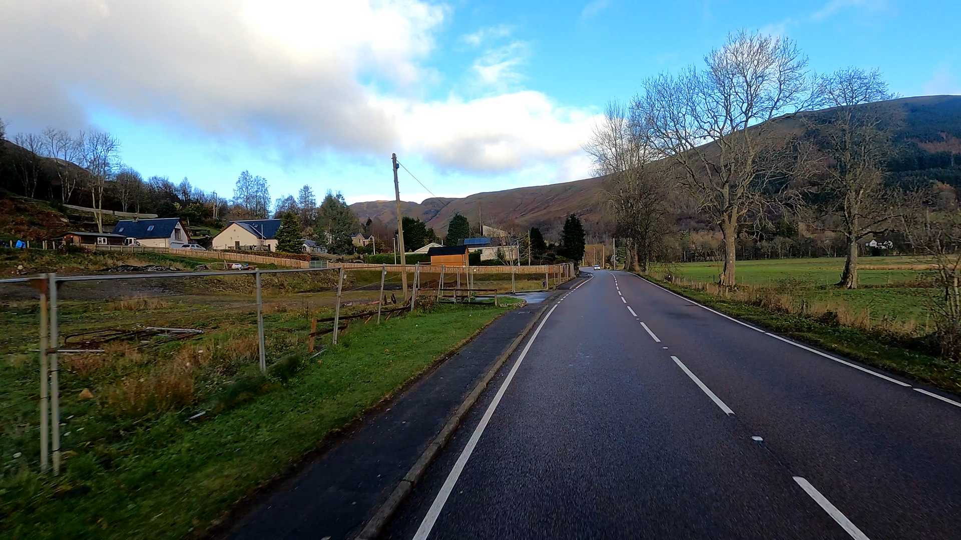
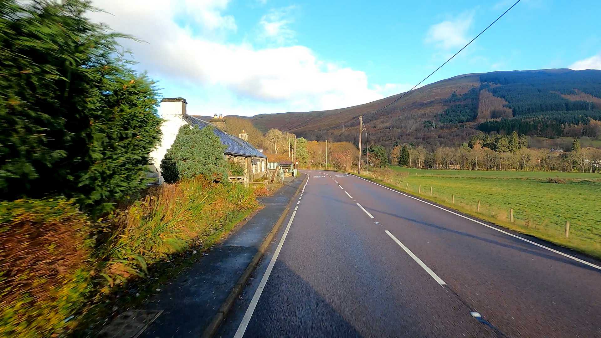
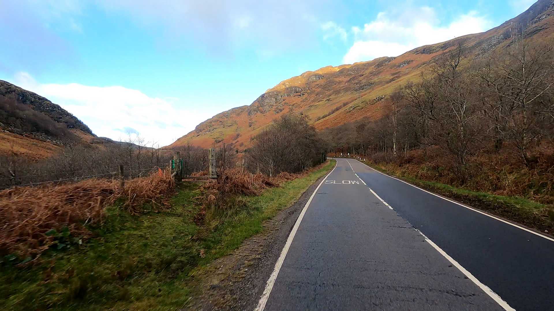
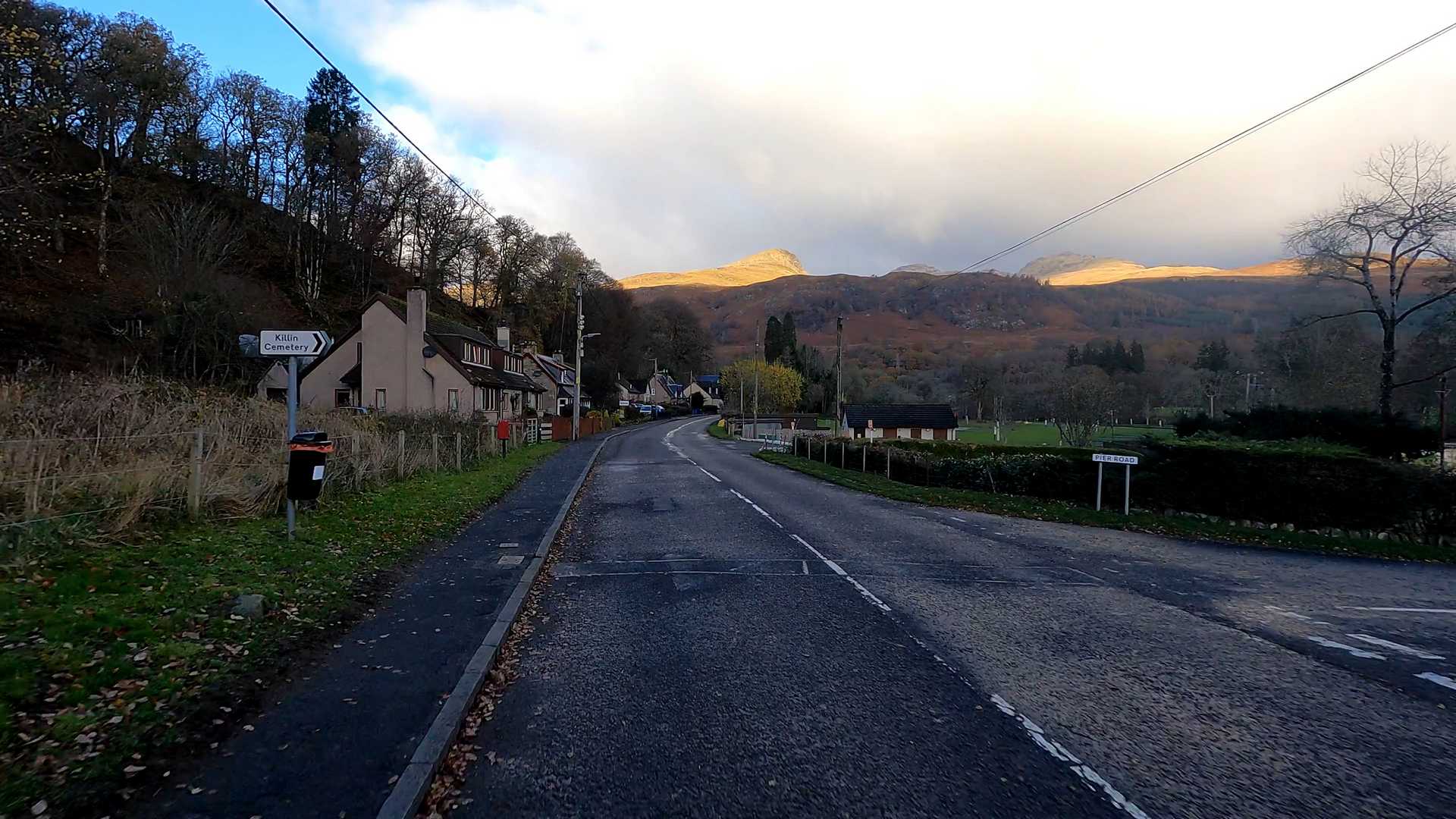
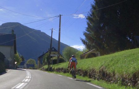
This is a classic Trossacs cycling route and is used frequently for organised road cycling events. It has some marvellous scenery in the autumn light. Part 2. Winds it’s way up Glenogle (railway route on left) to Lix Toll. The climb is approx 1000ft at the summit. The decent is now into Killin famous for it’s falls and tourist shops.
[sgpx gpx=”/wp-content/uploads/gpx/0625.gpx”]
Additional Information
Country
UK
Difficulty
Very Hard
Distance
26.7
Elevation Gain
228
Terrain type
Hilly
Video Quality
1080, 4K
Ascenddistance
7.1
Ascendgrade
3.1

